Your Cart is Empty

Sold Out
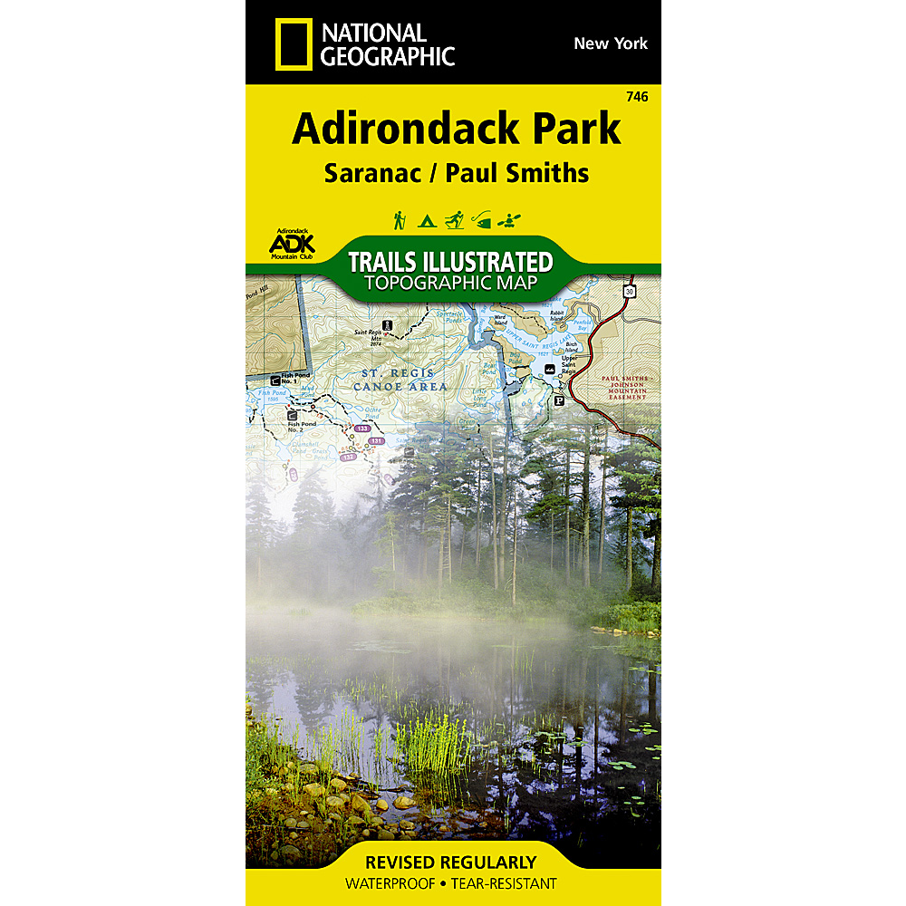
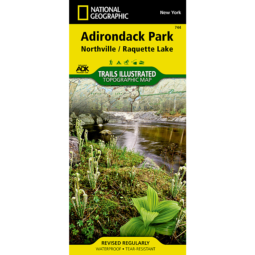
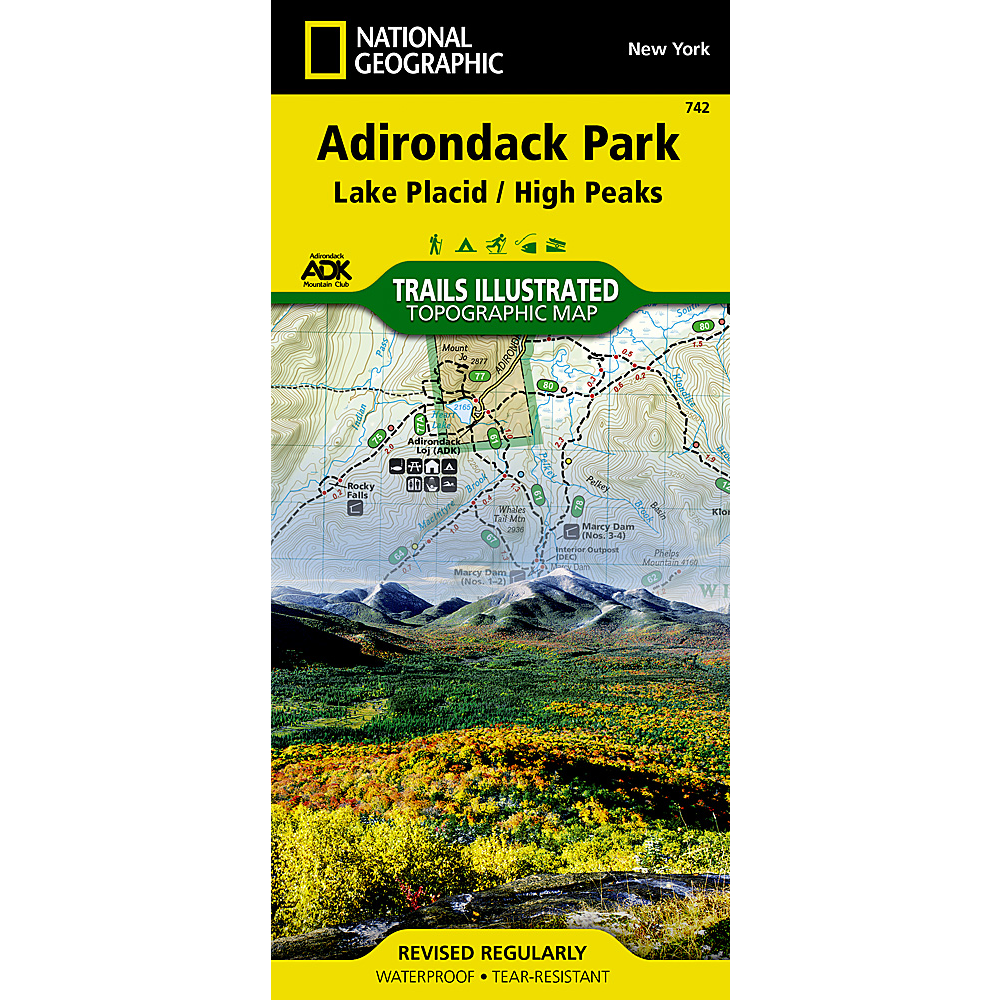
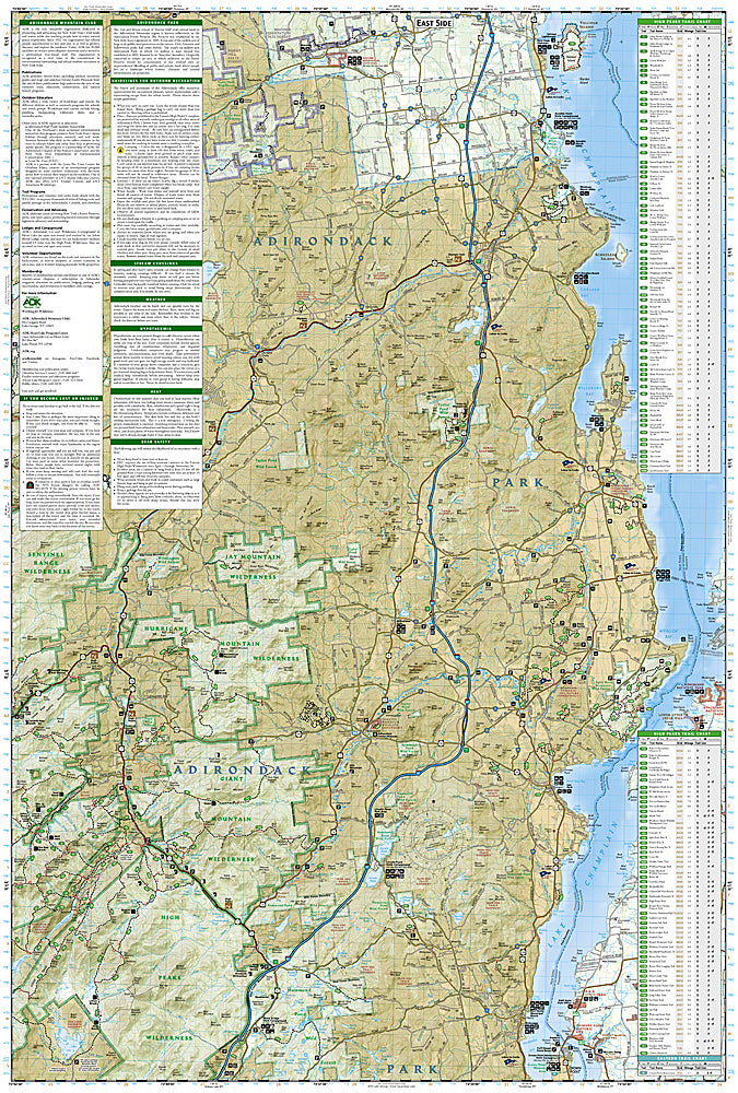
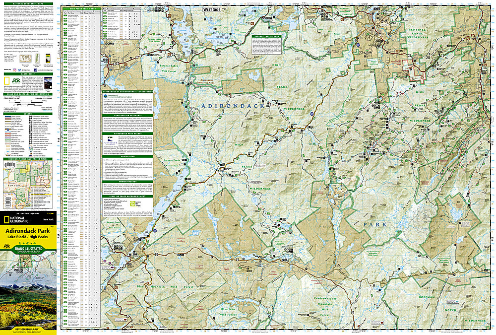
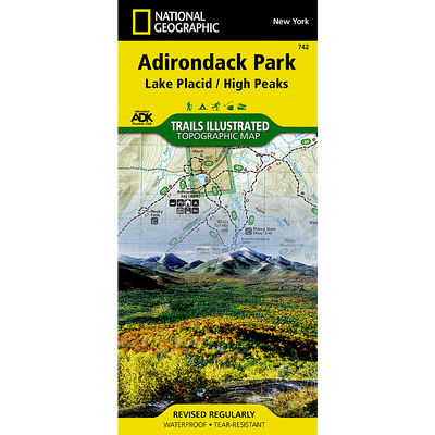
It's easy to get lost in the Adirondack's 6 million acres! Find your way with a National Geographic map produced in cooperation with the Adirondack Mountain Club.
Waterproof and tear-resistant, these maps are built for the wilderness. Odds are, when you're hiking, paddling, or cycling in the Adirondacks, you're going to get wet so these maps are a must-have.
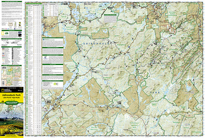
This map covers the Lake Placid/ High Peaks area and contains the towns of Lake Placid, Long Lake, Keeseville, Port Henry, Keene, Elizabethtown, and the east end of Tupper Lake to name a few.
There are 5 maps total to cover the entire Adirondack Park:
The maps do overlap in some places so if you're unsure if a particular map covers what you're looking for just contact us and we'll be happy to check.
Collections: Lake Placid, Maps, Printed Goods